
Package Exports
- @geo-maps/countries-coastline-25m
This package does not declare an exports field, so the exports above have been automatically detected and optimized by JSPM instead. If any package subpath is missing, it is recommended to post an issue to the original package (@geo-maps/countries-coastline-25m) to support the "exports" field. If that is not possible, create a JSPM override to customize the exports field for this package.
Readme

![]()
![]()


![]()
![]()

![]()
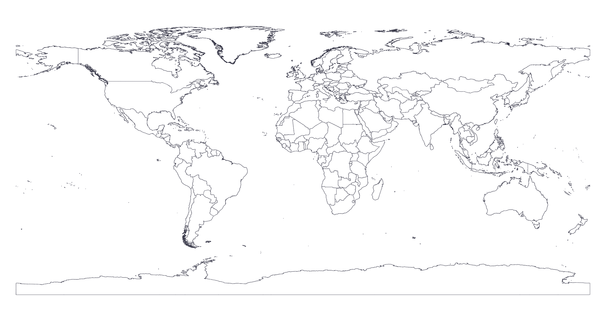
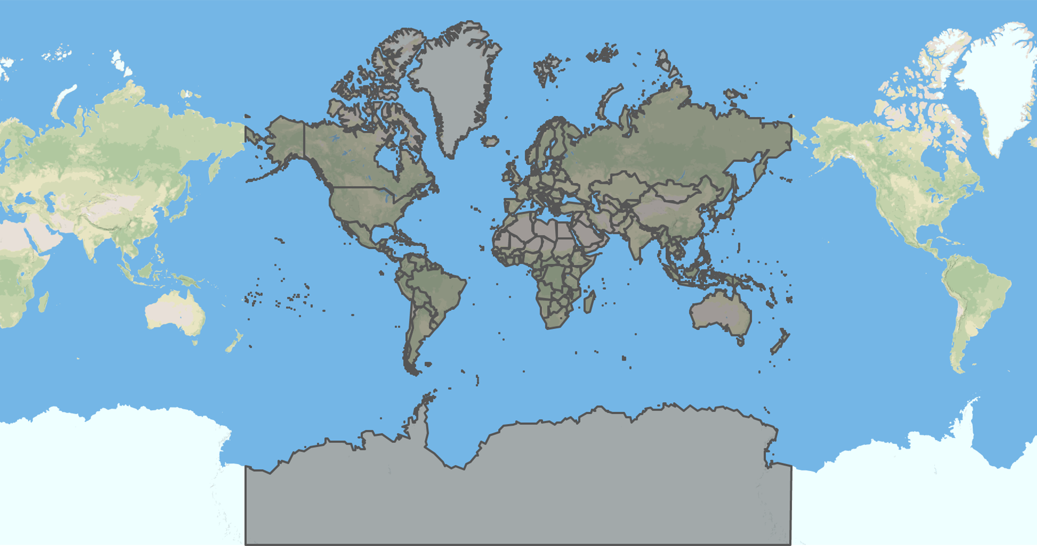
🗺 High Quality GeoJSON map of countries' political coastline borders with 25m resolution.
The only GeoJSON maps of the world you will ever need!
Preview
Click on the image below to see a live preview of the map with an absolute error of 25m.
Install
$ npm install --save @geo-maps/countries-coastline-25mUsage
// Just require it and you are done!
const geoCountriesCoastline = require('@geo-maps/countries-coastline-25m');
Authors
- Simone Primarosa - simonepri
See also the list of contributors who participated in this project.
License
All data of this project is licensed under the Open Data Commons Public Domain Dedication and License as stated in OpenStreetMap License
All source code of this project is licensed under the MIT License - see the LICENSE file for details.